Piscatorium
2 min read
The three numbers to check before you head out to sea
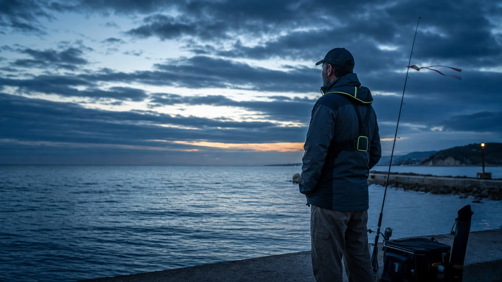
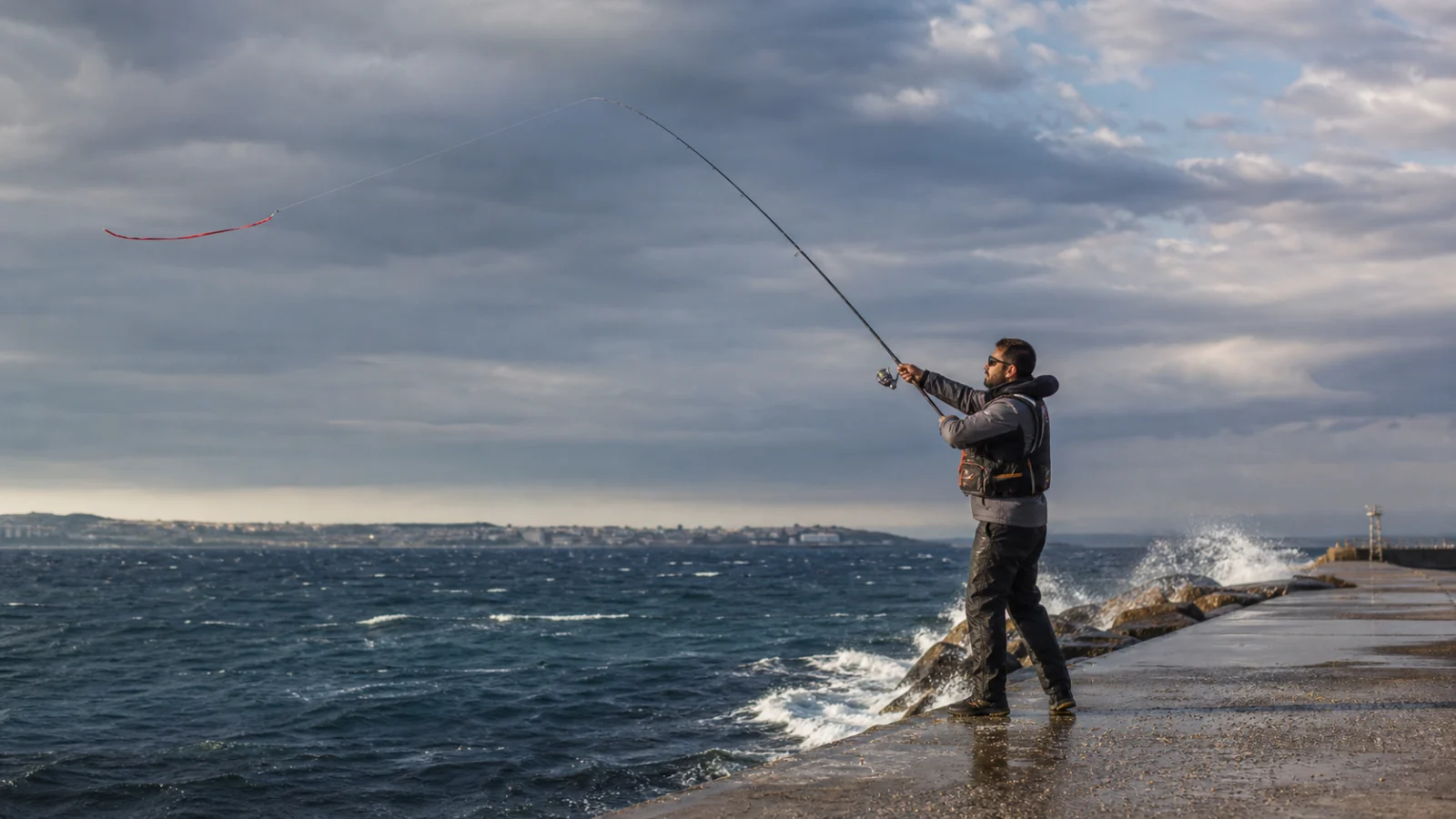
An angler’s day begins not at sea but over the phone. Yet there are dozens of numbers to look at and they are not equally useful. For someone fishing from the shore the decision rests almost entirely on three numbers.
1. Wave height
The most direct safety indicator. Practical thresholds for shore fishing:
- 0 – 0.5 m — calm. Comfortable anywhere.
- 0.5 – 1.25 m — slight. No trouble on breakwaters and inside harbors, care on an open shore.
- 1.25 – 2.5 m — moderate. Dangerous on a rocky shore; wet stone is slippery.
- Above 2.5 m — rough. Not a day for fishing from the shore.
The period of the wave matters as much as its height. At the same height a short-period wave hits harder; a long-period swell passes more gently.
2. Wind speed and direction
For shore fishing 8 m/s is a practical upper limit — above that casting gets hard, the line is thrown about and the waves are already starting to build.
Direction decides at least as much as speed. Onshore wind stirs the water up and drives baitfish towards the shore; that is usually good news. Offshore wind clears the water and pushes the fish out, but it also lengthens your cast.
3. Pressure trend
The pressure value on its own says little; what matters is which way it is going. Pressure falling over the last 6 – 12 hours usually gets the fish moving. But if the fall is sharp the weather breaks too — and then safety comes before fishing.
Rising pressure usually means slack water: the sky clears, the water clears and the fish go deep.
Where do you read these numbers?
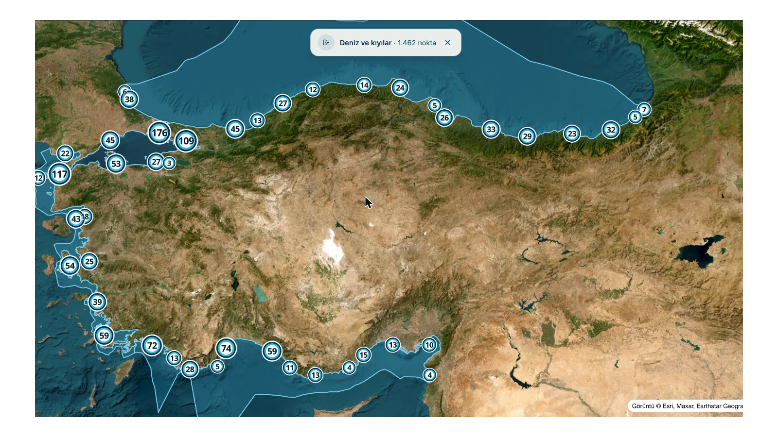
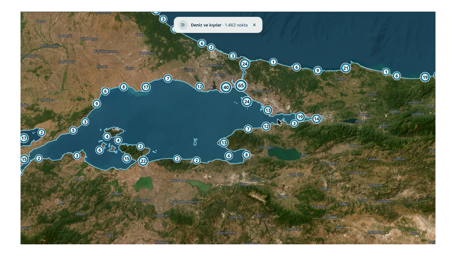
Every measurement point spread along the coast of Türkiye on the map carries these three values. The band on the home page shows the average for the coast as a whole — the answer to “how is it generally today”. For a firm decision you have to look at the spot you are heading for.
Check how old the data is
Weather data is not instantaneous; it is collected at set intervals. When you look at a number you also have to look at when it was taken. A wave value from eight hours ago may not describe the sea right now. That is why we write the age of the data everywhere.
None of the information here may be used for navigation. If you are putting out in a boat, consult the official meteorological and navigational sources.