Piscatorium
3 min read
How to read the fishing map
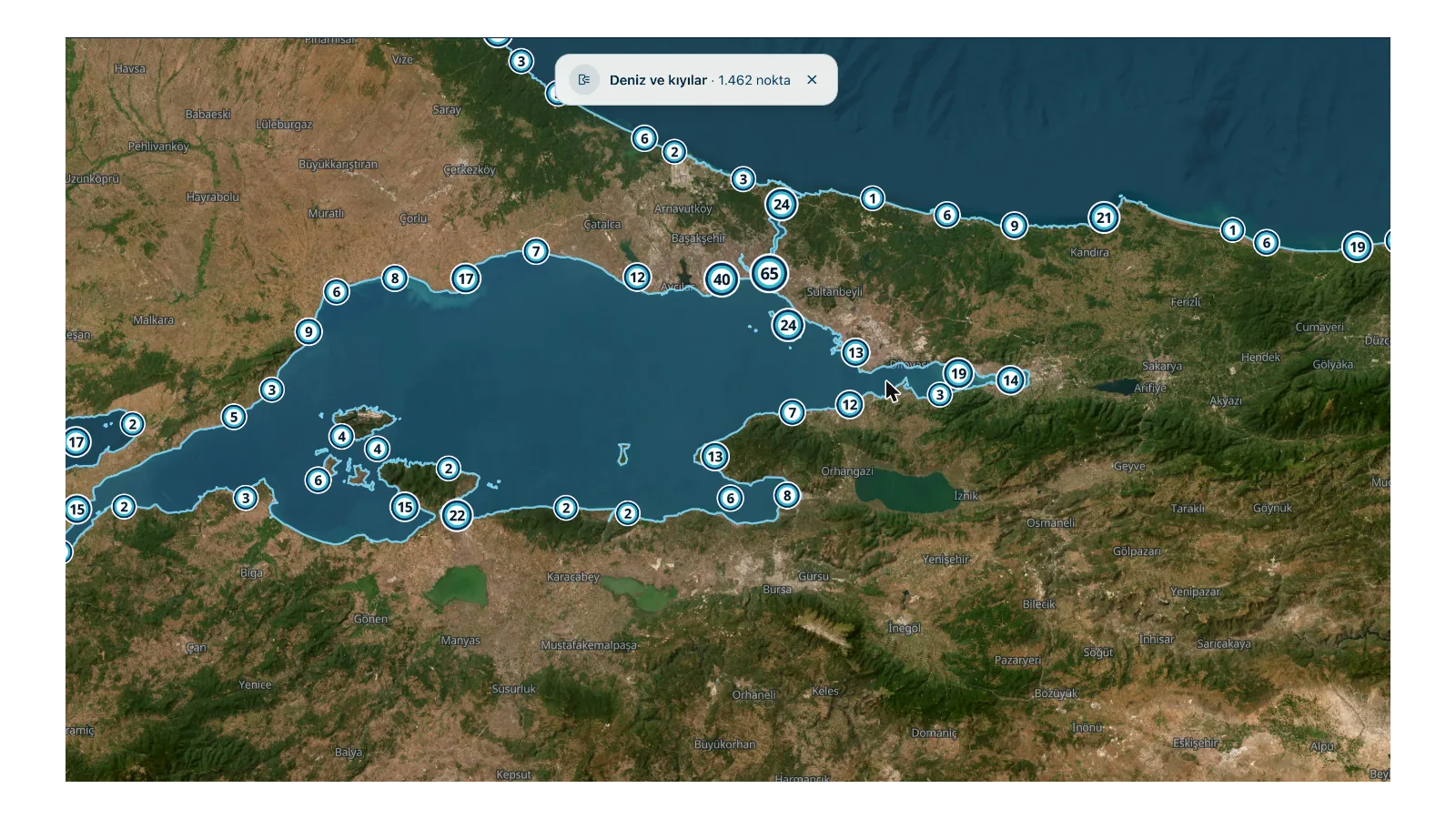
3,551 points, live wind and sea conditions. What the layers on the map are telling you, and what to look at before you set off.
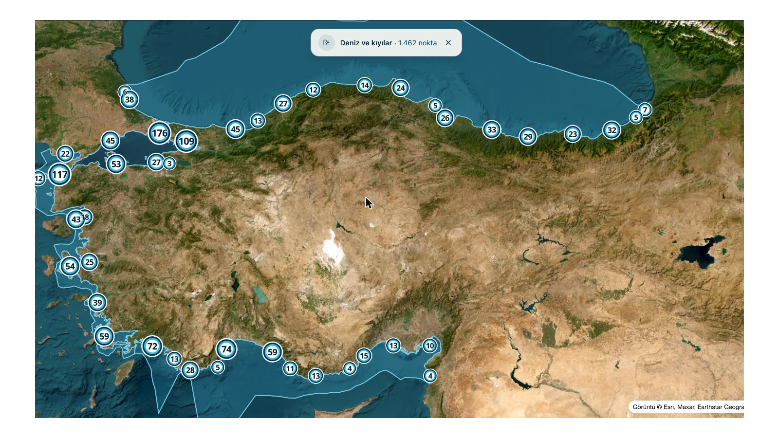
The map answers two separate questions at once: where should I go and should I go today. The layers are split along those two questions.
The spot layer — where
3,551 spots are marked along the coasts and inland waters of Türkiye. Every spot is a fishing ground: a jetty, a beach, a stream mouth, a headland, a reservoir or a pond.
As you zoom in the spots separate out; from far away they cluster. When you click on a spot you get the type of the place, which species are recorded there and, if there are any, the campsites nearby.
The conditions layer — today
Behind it sit the wind, wave, water temperature and pressure measurements. This data is gathered on a grid: denser along the coast, sparser inland — because conditions on the coast change over a few kilometers.
It has been measured: across an area of 20 kilometers the temperature can vary by 3.2 °C, the wind speed by 69% and the wind direction by 30 degrees. Direction matters because it is what decides which shore is fishable.
Three questions before you go
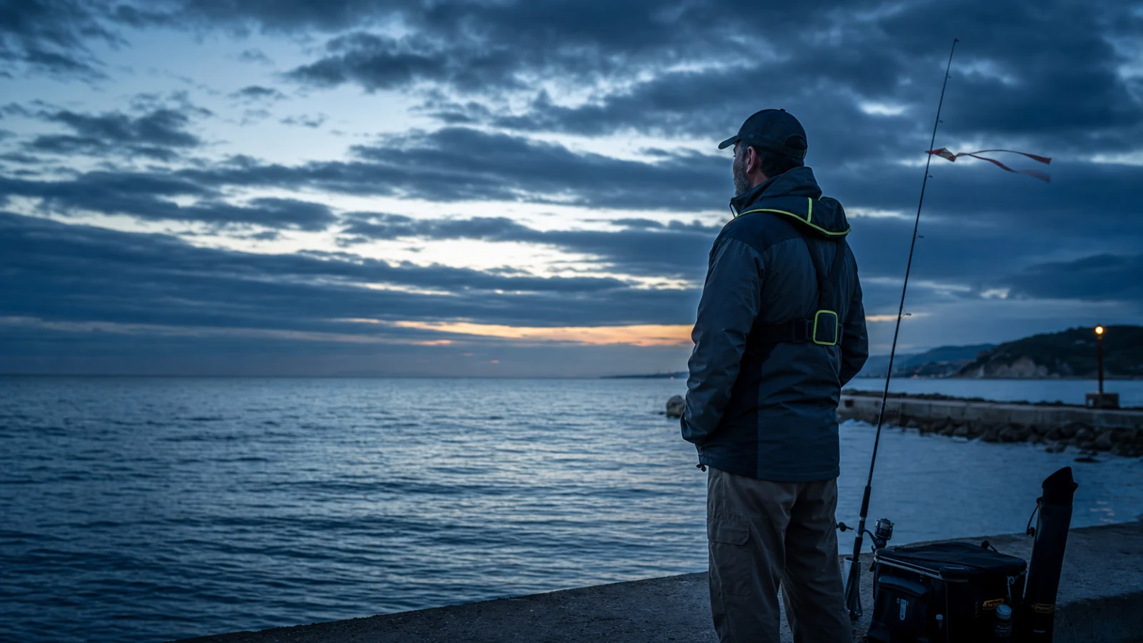
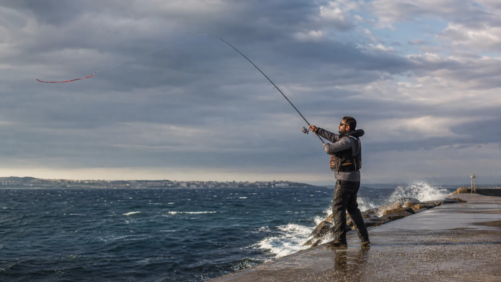
- Is the wind blowing onshore? If it is, the water clouds up and the baitfish are driven towards the shore — usually good. If it is blowing offshore the fish move out.
- Is the pressure falling? Falling pressure usually means movement. The map carries the trend of the last 12 hours.
- Is the water temperature in the species’ range? Every species has its own range; it is written on the species page.
The age of the data is visible
Conditions are gathered every three hours and every card states how old the data is. Where there is no measurement at a spot, it falls back to the nearest measurement point and says how many kilometers away that came from.
This is deliberate: taking the wind from 9 kilometers away for the wind at your own spot is the easiest way to plan wrong.
Not for navigation
The depth and shoreline data on the map may not be used for navigation. If you are going out in a boat, the official navigational charts are what count.
Open the map and look at your own stretch of coast.